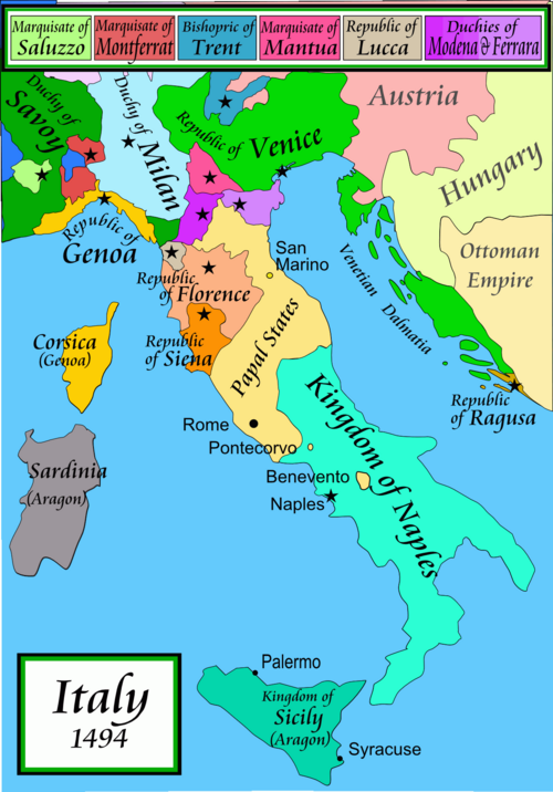
चित्र:Italy 1494 AD.png
नेविगेशन पर जाएँ
खोज पर जाएँ

इस पूर्वावलोकन का आकार: ४१९ × ६०० पिक्सेल । अन्य resolutions: १६८ × २४० पिक्सेल | ३३५ × ४८० पिक्सेल | ५३६ × ७६८ पिक्सेल | १,२६१ × १,८०५ पिक्सेल ।
मूल फ़ाइल ((१,२६१ × १,८०५ पिक्सेल, फ़ाइल का आकार: १४४ KB, MIME प्रकार: image/png))


|
File:Italy 1494 AD-it.svg इस फ़ाइल का एक वेक्टर संस्करण है।. जब अवर न हो, इस PNG फ़ाइल की जगह इसका उपयोग किया जाना चाहिए।
File:Italy 1494 AD.png → File:Italy 1494 AD-it.svg
अधिक जानकारी के लिए Help:SVG देखें। |
 |
सारांश
Political map of Italy in early 1494, before the invasion of Italy by Charles VIII of France, created by MapMaster.
Part of a series of maps on the history of Italy:
-
 1000 AD
 -
 1084 AD
 -
 1796 AD
 -
 1810 AD


Versions
[]
PNG:
-
 अरबी
अरबी -
 अंग्रेज़ी
 -
 यूनानी


SVG:
-
 कातालान
 -
 स्पेनिश
 -
 फ़्रेंच
 -
 इतालवी
 -
 हंगेरियाई


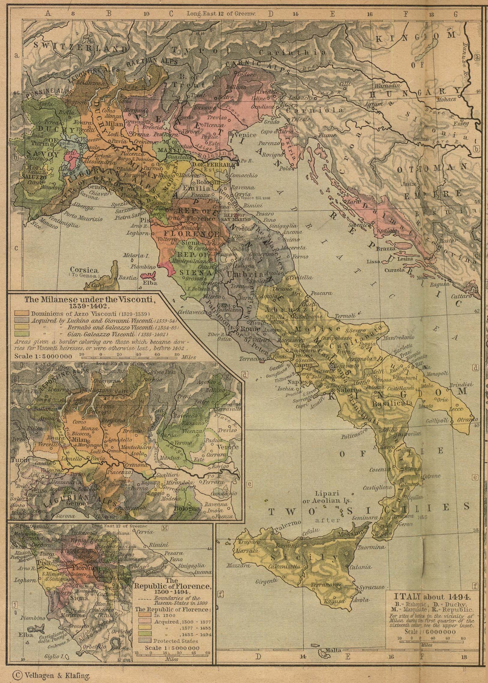
See similar versions (disputed too): Map of Italy (1494)
References
- Bjorklund, Oddvar; Holmboe, Haakon; Rohr, Anders (1970) Historical Atlas of the World, Barnes & Noble, NY, SBN: 389-00253-4.
- Matthew, Donald, (1983), Atlas of Medieval Europe, Checkmark Books, New York.
- Online maps, including this 1882 map from Shepherd (the University of Texas)
- this one from A B Longman, textbook publisher.
लाइसेंस
मैं, इस कार्य का/की कॉपीराइट धारक, इसे निम्न लाइसेंसों के अंतर्गत प्रकाशित करता/करती हूँ:

|
इस दस्तावेज़ को Free Software Foundation द्वारा प्रकाशित GNU मुक्त प्रलेख लाइसेंस के संस्करण 1.2 या नए (बिना किसी अपरिवर्तनीय अनुभागों और अगले या पिछले आवरण के टेक्स्ट के) के अंतर्गत प्रतिलिपि बनाने, बाँटने और/या बदलने की अनुमति प्रदान की जाती है। इस लाइसेंस की एक प्रतिलिपि GNU मुक्त प्रलेख लाइसेंस नामक अनुभाग में शामिल है। |
| इस फ़ाइल को क्रिएटिव कॉमन्स श्रेय-समानसांझा 3.0 अनांतरित लाइसेंस के अंतर्गत लाइसेंस किया गया है। | ||
| ||
| This licensing tag was added to this file as part of the GFDL licensing update. |
आप अपना पसंद का लाइसेंस चुन सकते हैं।
derivative works
इस फ़ाइल के व्युत्पन्न कार्य: Italy 1494 AD-ar.png
फ़ाइल का इतिहास
फ़ाइलका पुराना अवतरण देखने के लिये दिनांक/समय पर क्लिक करें।
| दिनांक/समय | अंगूठाकार प्रारूप | आकार | प्रयोक्ता | प्रतिक्रिया | |
|---|---|---|---|---|---|
| वर्तमान | ०१:१५, २१ अप्रैल २००९ | | १,२६१ × १,८०५ (१४४ KB) | wikimediacommons>Capmo | palette reduction to 256 colours |
फ़ाइल का उपयोग
निम्नलिखित पन्ने इस चित्र से जुडते हैं :