चित्र:Côte d'Ivoire Map.jpg
नेविगेशन पर जाएँ
खोज पर जाएँ

इस पूर्वावलोकन का आकार: ४७० × ६०० पिक्सेल । अन्य resolutions: १८८ × २४० पिक्सेल | ३७६ × ४८० पिक्सेल | ६०२ × ७६८ पिक्सेल | १,०३६ × १,३२२ पिक्सेल ।
मूल फ़ाइल ((१,०३६ × १,३२२ पिक्सेल, फ़ाइल का आकार: ४४० KB, MIME प्रकार: image/jpeg))
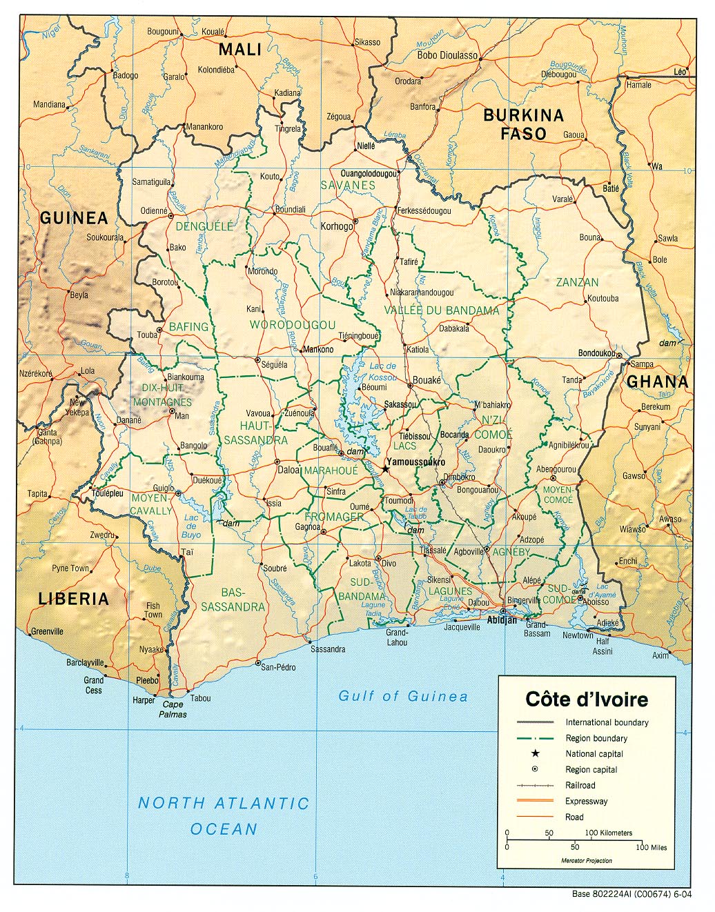
| विवरण |
English: haded relief map of Côte d'Ivoire. |
|||
| दिनांक | ||||
| स्रोत | [1] from the Perry-Castañeda Library Map Collection. | |||
| लेखक | CIA | |||
| अनुमति (इस चित्र का पुनः उपयोग करना) |
|

![[1]](http://www.lib.utexas.edu/maps/africa/cote_divoire_rel04.jpg)
फ़ाइल का इतिहास
फ़ाइलका पुराना अवतरण देखने के लिये दिनांक/समय पर क्लिक करें।
| दिनांक/समय | अंगूठाकार प्रारूप | आकार | प्रयोक्ता | प्रतिक्रिया | |
|---|---|---|---|---|---|
| वर्तमान | ११:११, २१ फ़रवरी २००६ | | १,०३६ × १,३२२ (४४० KB) | wikimediacommons>Lupo | Shaded relief map of Côte d'Ivoire. Source: [http://www.lib.utexas.edu/maps/africa/cote_divoire_rel04.jpg] from the [http://www.lib.utexas.edu/maps/cote_d'ivoire.html Perry-Castañeda Library Map Collection]. {{PD-USGov-CIA}} [[Category:Maps of C� |
फ़ाइल का उपयोग
निम्नलिखित पन्ने इस चित्र से जुडते हैं :